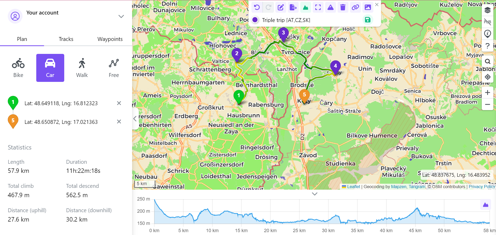
Our web app Trackbook lets you create, plan, and manage your tracks and waypoints on your laptop, and sync them directly with GPX Viewer or GPX Viewer PRO on your phone. But Trackbook has even more to offer. The Online Services subscription which is available in GPX Viewer and GPX Viewer PRO unlocks premium features both in the mobile app and on Trackbook. This article focuses on what this subscription adds to your Trackbook experience. Once you subscribe in GPX Viewer and GPX Viewer PRO, the Trackbook features become available automatically.
View your tracks on a satellite map
With Online Services subscription, you can switch to a satellite view and see the actual ground beneath your route like the forest cover, open fields, rocky sections, river crossings. This is especially useful when you are planning a new route and want to get a realistic picture of the terrain rather than just reading lines on a map. You might notice that a trail passes through dense forest, or that a section you planned crosses an open ridge with no shelter, these details are easy to miss on other maps.

View terrain in 3D
The 3D view lets you see the landscape as it actually is — mountains, valleys, and ridges rendered in three dimensions. After completing a long alpine hike or a challenging cycling route, opening it in 3D gives you a completely different perspective on what you actually did. It is also a great planning tool: before heading into unfamiliar mountain terrain, seeing the shape of the landscape in 3D makes it much easier to understand the route and anticipate where the difficult sections will be. To open the 3D view, click on your track on the map, then click the Toggle 3D View button in the upper menu.

Display data on the track
With this feature, data such as elevation or speed is displayed directly on the track line itself using color gradients, this is similar to what GPX Viewer and GPX Viewer PRO offer. Instead of reading a separate graph, you can see at a glance where the climbs are, where the track flattens out, and where the descent begins. This makes it easy to compare different parts of a route visually. For example, a route that looks manageable on a flat map can reveal a very different story in 3D: a sharp ridge, a steep descent, or an exposed section that is worth preparing for. To activate this feature click on your track on the map, then click the Display data on the track button in the upper menu and select which data you would like to display.

Get 1GB storage for uploading pictures of your outdoor adventures
Your tracks are not just lines on a map, they are the adventures you took, the stunning views on the way, the picnic spot you found by chance, the memories shared with your hiking companions. Trackbook can help you preserve all of that alongside your route data.
With Online Services subscription, you get 1 GB of storage to upload photos directly to your tracks and waypoints on Trackbook. Attach a photo of the summit you reached to the waypoint marking it, or add images from different spots along the route to paint a fuller picture of the day. When you look back at the track weeks or months later, the photos bring it to life in a way that GPS data alone cannot.

Online Services subscription in GPX Viewer and GPX Viewer PRO
The Online Services subscription is not just about Trackbook. This subscription also unlocks a range of premium online maps in GPX Viewer and GPX Viewer PRO on your phone: Mapbox, Thunderforest, HERE, and Mapy.com. You also get access to OpenWeatherMap weather overlays, which let you see current weather conditions directly on the map, this is useful when planning a trip or heading out into uncertain conditions.
With the Online Services subscription you can also manage your Trackbook collection directly in GPX Viewer or GPX Viewer PRO. Upload tracks and waypoints to Trackbook from the app, edit metadata of your Trackbook tracks and waypoints, or delete from Trackbook the ones you no longer need — all without opening Trackbook.
If you use both Trackbook and GPX Viewer PRO regularly, the Online Services subscription covers both sides of your workflow, helping you to plan and analyze your outdoor adventures easily.