
If you enjoy spending time outdoors, you know how important it is to have a reliable app to help you navigate and plan your activities. In this article, we’ll dive into what our Android applications GPX Viewer and GPX Viewer PRO have to offer, explore the key differences between the free and PRO versions By the end, you’ll have a better idea of which app suits better for your needs.
What GPX Viewer and GPX Viewer PRO have in common
Both GPX Viewer and GPX Viewer PRO are designed to help you get the most out of your outdoor trips. These apps let you view and interact with your tracks, routes, and waypoints making outdoor navigation and planning easier and more enjoyable. Here’s a look at what both versions have in common:
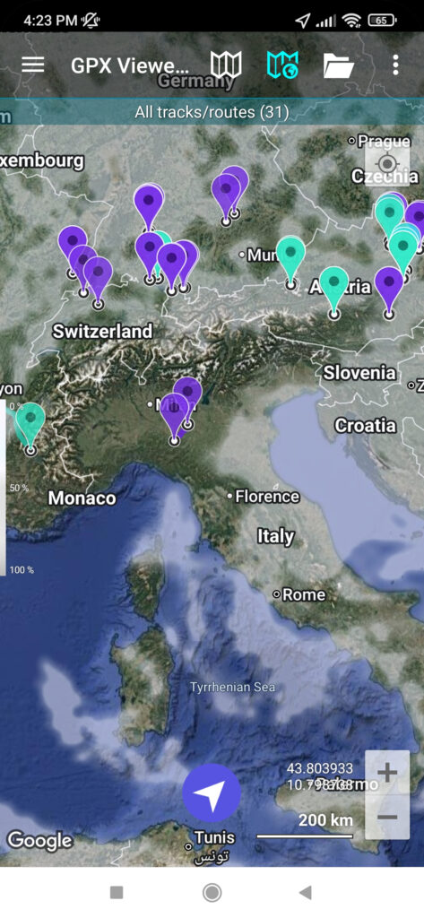
- Open GPX, KML, KMZ, and LOC files. With our apps you can open files in GPX, KML, KMZ, and LOC formats to visualize your tracks, routes, and waypoints on the map.
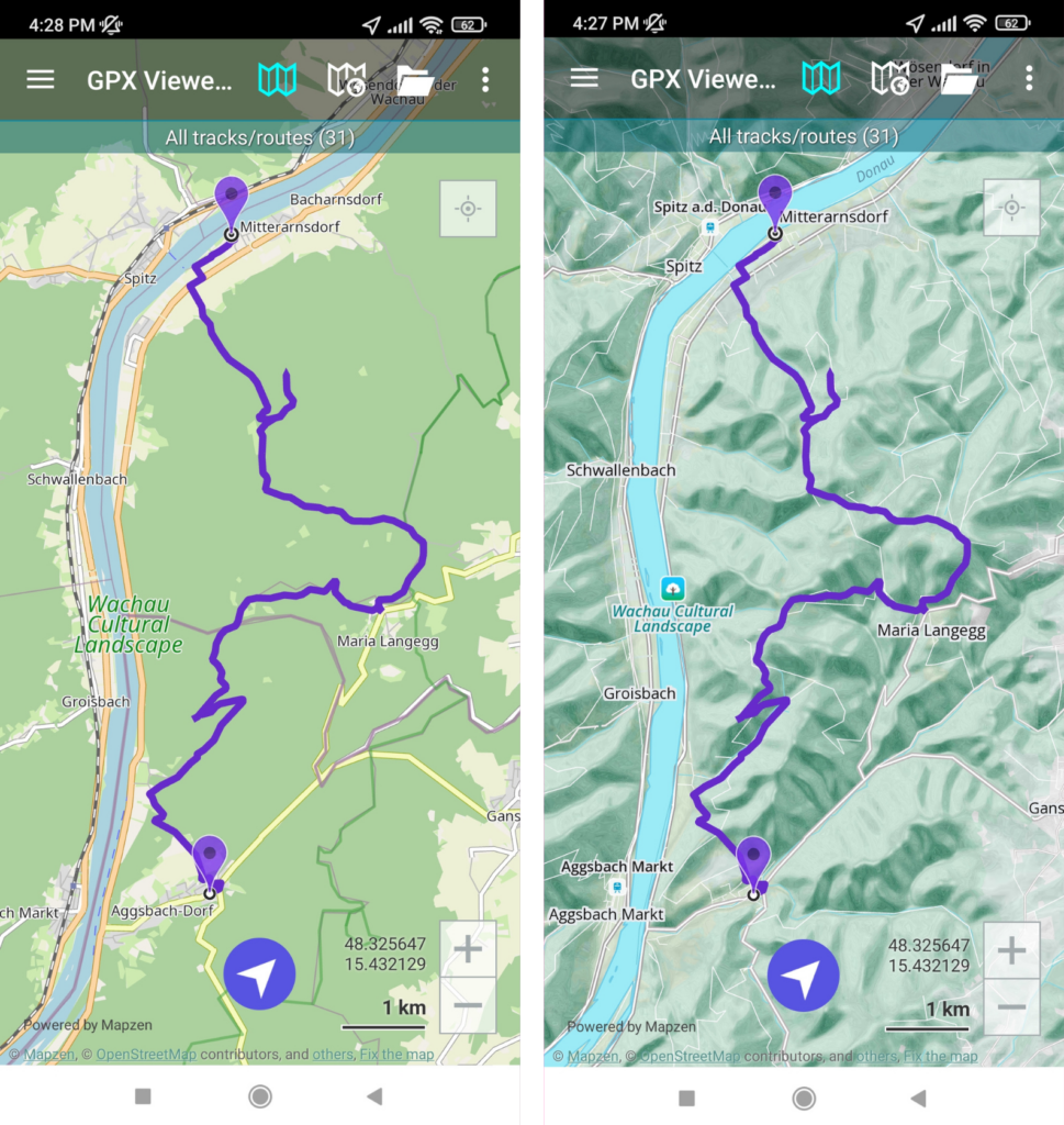
- Online maps. Choose from a variety of online map styles, including Google Maps with normal, terrain, and satellite views, OpenStreetMap perfect for outdoor activities, ÖPNVKarte with public transport information, CyclOSM for cyclists, and OpenTopoMap for detailed topographic information.
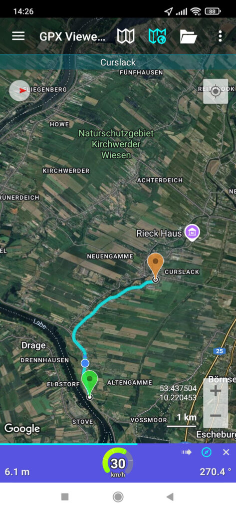
- Simple navigation tool. GPX Viewer makes it easy to follow routes and stay on track even in unfamiliar terrain. Both apps also provide off-track warnings to alert you if you stray too far from your route, and waypoint notifications to ensure you don’t miss any key points along your journey.
- Integration with Trackbook. Prefer planning routes on your laptop? Create tracks with our web app Trackbook on a larger screen, then sync them with GPX Viewer on your Android device. This option is especially useful for those who like planning on a computer but need their tracks on the go. Learn more about syncing your tracks here.
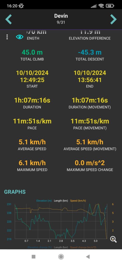
- Analyze track statistics Explore the statistics behind your adventures — from distance and duration to elevation gained and average speed. Use this data to monitor your progress, set new personal goals, or plan your future trips more effectively.
- Customization options. GPX Viewer offers you many customization options to personalize the app. For example you can adjust how your tracks look by changing their color, width, or even adding directional arrows. If you like to keep things organized, you can show or hide tracks as needed. The apps also let you add your favorite feature to the top menu for quick access or hide the menu to maximize the map view.
- Option to subscribe to premium online services. If you need more advanced options, in both free and PRO versions you can subscribe to our online services.These give you access to premium maps like Mapbox, HERE, Thunderforestand and Mapy.cz along with weather overlays from OpenWeatherMap and enhanced Trackbook synchronization.
What makes GPX Viewer PRO special?
While the free version of GPX Viewer includes plenty of useful tools, the PRO version is designed for people who need additional features and greater flexibility. Here’s what GPX Viewer PRO offers:
- Offline maps. With GPX Viewer PRO, you can download maps for offline use, so you can navigate confidently even if you’re in a remote area with no signal. You can select from various offline map styles to match your activity.
- Create and edit tracks. The PRO version allows you to edit existing tracks or create new ones from scratch. This is useful if you need to add waypoints, adjust a route to your travel plans, or trim a section of a track. Learn more about Create & edit function here.
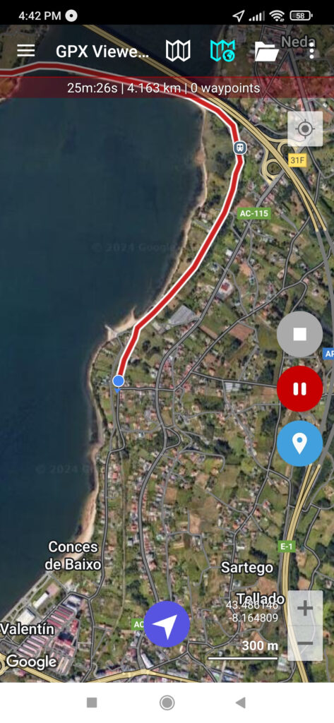
- Track recording. Record your routes as you hike, bike, or run. This feature lets you save your activities so you can look back on them or share them with others.
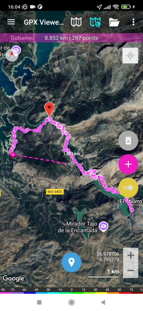
- Measure tool. Not sure how far your planned route will take you? Use measure tool to calculate distances directly on the map, helping you better plan your activities, especially for longer or multi-day hikes.
- Export tracks. GPX Viewer PRO lets you export tracks in GPX, GPZ, KML, and KMZ formats.You can also combine multiple tracks into a single file and later share it with friends who want to explore your favorite destinations.

Both GPX Viewer and GPX Viewer PRO are powerful tools for exploring the outdoors. If you’re new to exploring trails or just need a reliable way to follow a route, you can try out the free version. On the other hand, if you want offline maps, track editing, and additional features like recording and measuring, the PRO version is worth considering. Whether you’re planning a weekend hike or a long-distance cycling trip, these apps can help you navigate with confidence and make the most of your time outdoors.


