We’re thrilled to introduce our new offline map style: Outdoors. It’s been a long journey since the first steps we took toward creating it. So, what does this new style offer? What makes it stand out? Let’s dive in and explore.
Hillshading and Contours
What’s an outdoor map without a sense of elevation? The Outdoors style brings the terrain to life with subtle hillshading, adding depth and dimension. Contour lines become visible at zoom level 13 and above, allowing users to better understand the land’s topography. Planning a hike or assessing trail difficulty, these visual cues will guide you through the terrain with confidence.
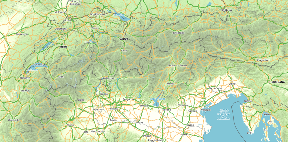
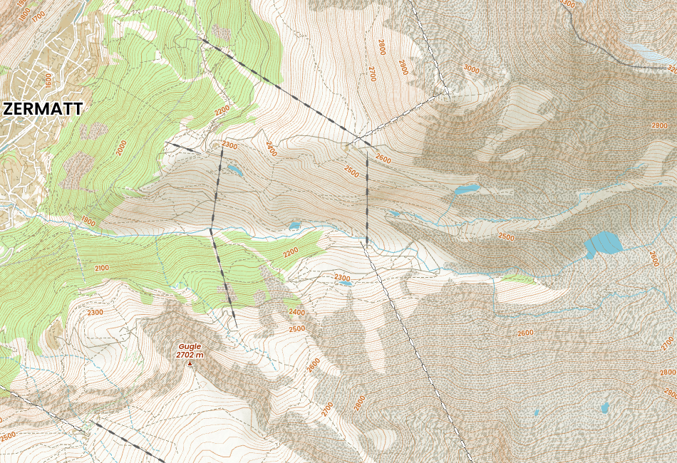
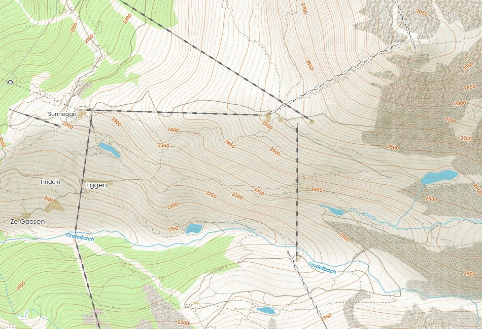
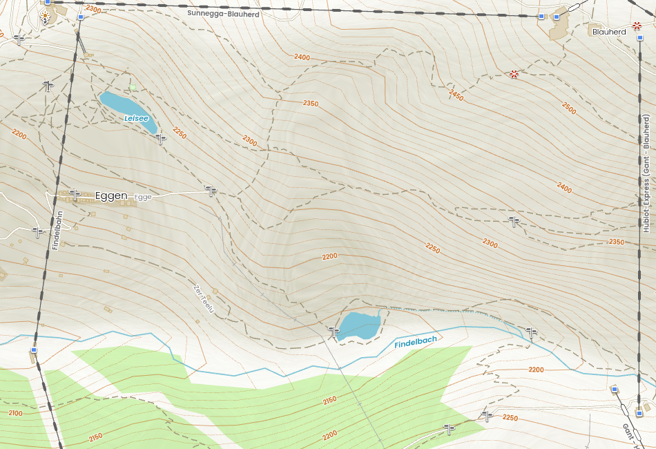
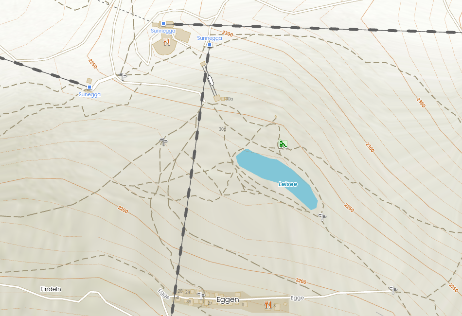
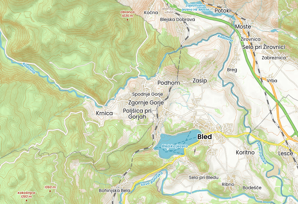
Let’s take a closer look at our new map style. We’ve chosen the area around the Swiss city of Zermatt, known for the famous and visited Five Lakes Trail.
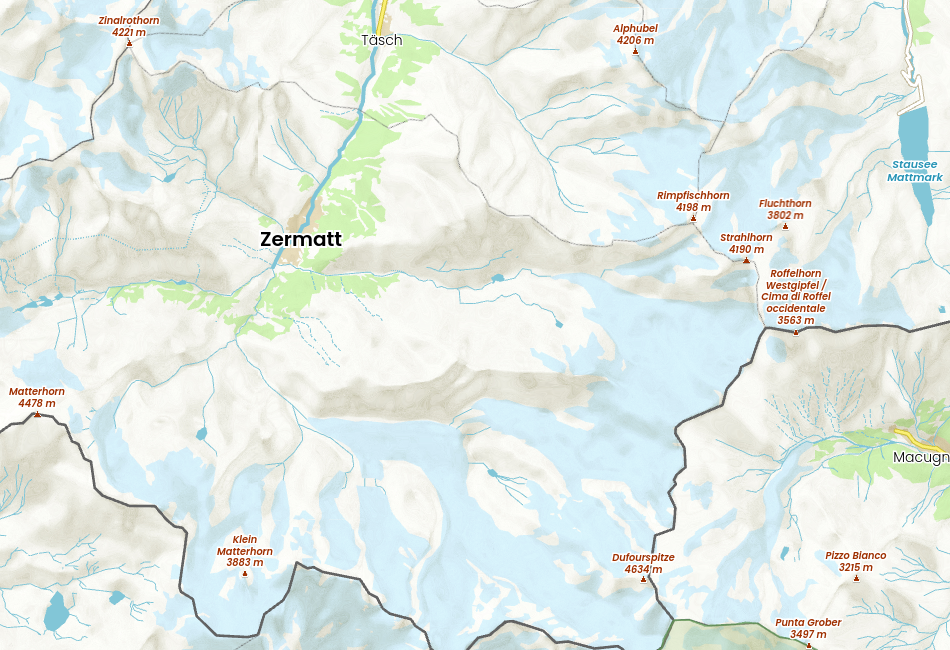
Zoom 12 Zermatt in Swiss and its surroundings with rivers, streams, glaciers, lakes, peaks
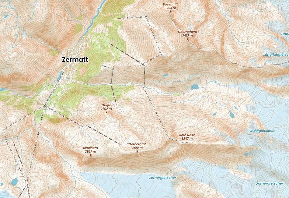
Zoom 13 Zermatt in Swiss and its surroundings with visible contours lines
Zoom 14 Another details are displayed – bare rock and scree textures, contours with elevations
Zoom 15
Zoom 16
Zoom 17
Designed for the Trail and the City
While the Outdoors style is perfect for outdoor activities like hiking, biking, and nature exploration, its versatility makes it equally useful in urban environments. With its rich iconography, this map style aids urban explorers by highlighting points of interest, essential services, and helpful wayfinding landmarks.
Looking for a museum, a local café, or a quiet park bench? The Outdoors style can guide you there. It’s designed to give users a sense of their surroundings, whether natural, built, or somewhere in between.
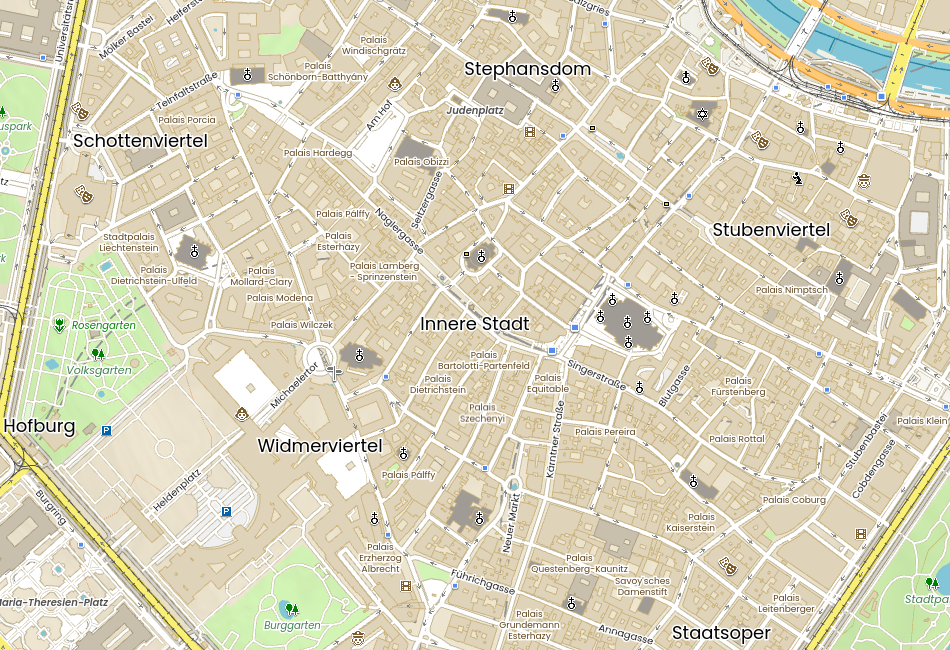
Zoom 16 Vienna – the city centre with Stephen’s Cathedral
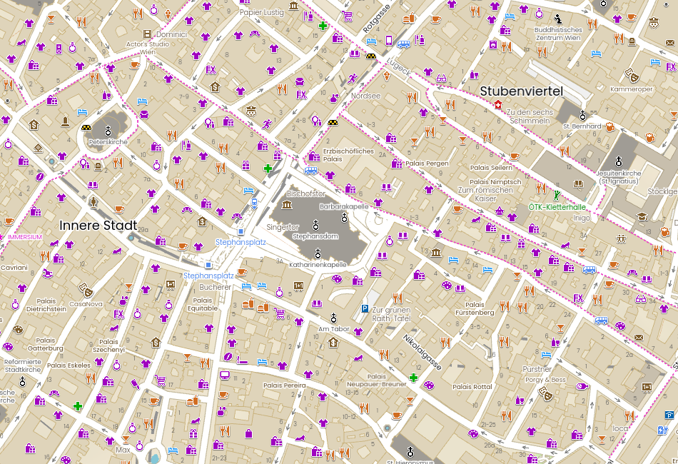
Zoom 17 Most of the icons are displayed
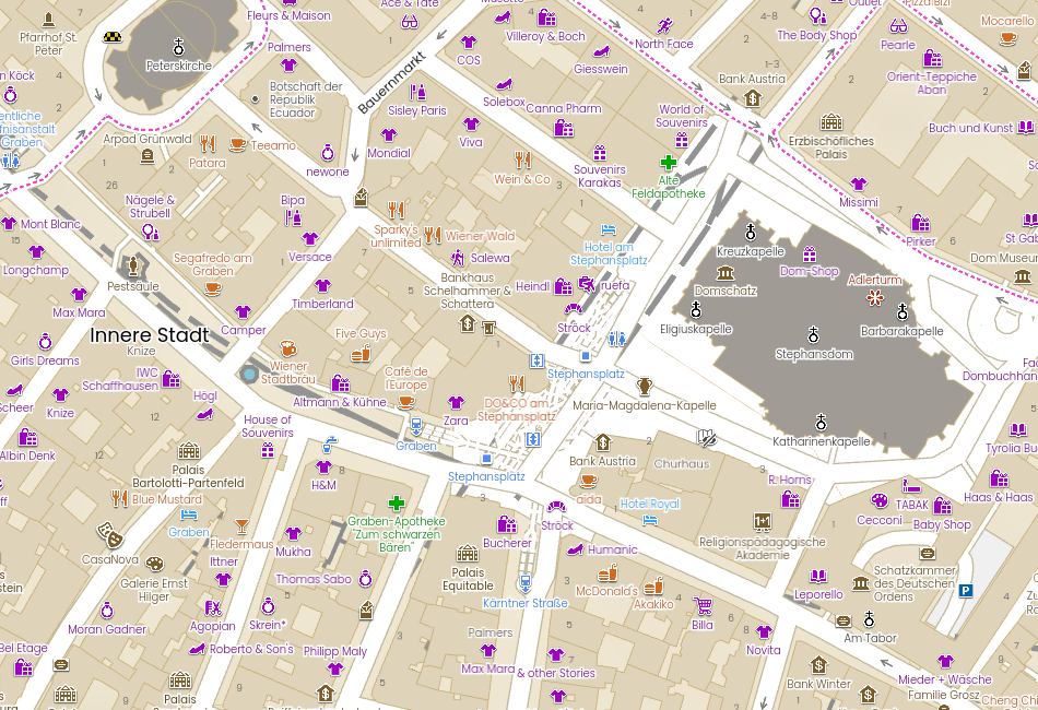
Zoom 18 Visible icon names
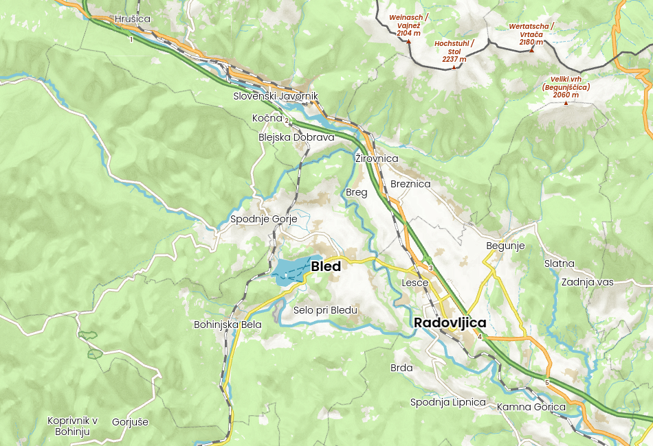
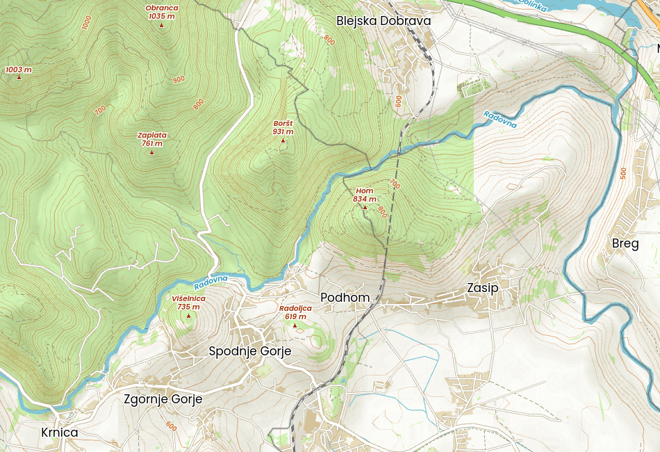
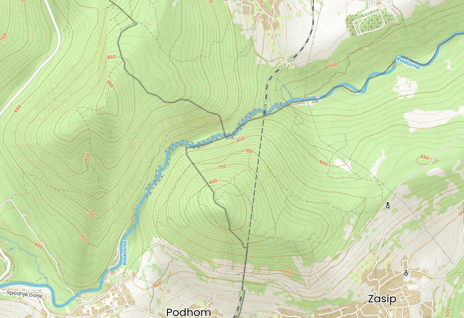
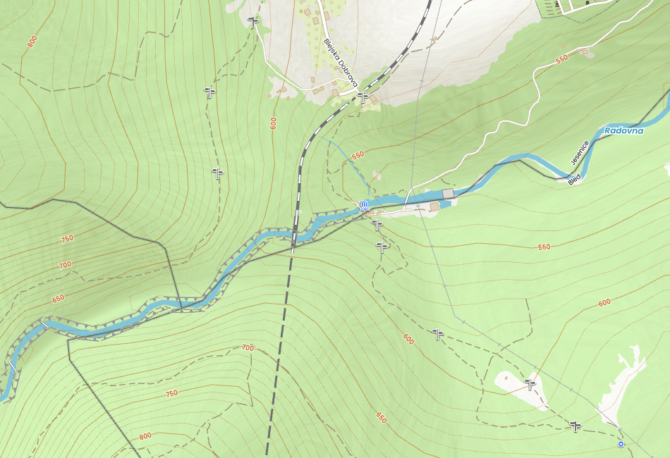
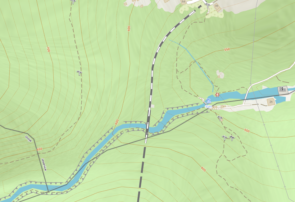
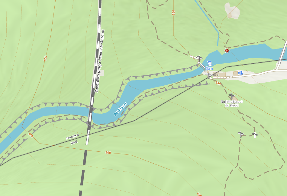
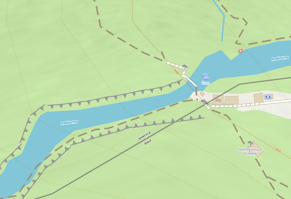
Look at Vintgar Gorge, popular hiking trail with boardwalks along the Radovna River in Slovenia.
Icons
At the heart of this style is a custom set of icons, uniquely developed for the Outdoors theme. Each icon is designed with a white outline and subtle gray shadow, giving it a lightly three-dimensional appearance that pops against the terrain.
Icons created so far (More icons should be created depending on the added pois to the Outdoors map style)
Where Function Meets Form
The Outdoors style is more than just a map – it’s a visual tool for exploration. Combining both form and function, it offers an elegant and legible design that encourages people to get outside and discover more.
No matter if you’re navigating a mountain trail, cycling along a riverside route, or strolling through an unfamiliar city, this map style is built to support your journey and inspire adventure.