Trackbook was developed in order to complement the functionality of GPX Viewer which is purely an Android and iOS application. Users have been asking for an option to comfortably set up the routes for upcoming journeys or consolidate the data from already executed ones. In response to that trackbook.online was developed 3 years ago. Last year trackbook went through significant reconstruction which has as a result more intuitive UI and enhanced functionality.
With Trackbook, you can create tracks and waypoints in a web browser and then synchronize them directly into GPX Viewer. You can also view routes or watpoints from elsewhere on the map, from other sites or applications – just import them in GPX format.
Users can log into the trackbook also within the GPX Viewer apps and directly synchronize the tracks from GPX Viewer to trackbook.
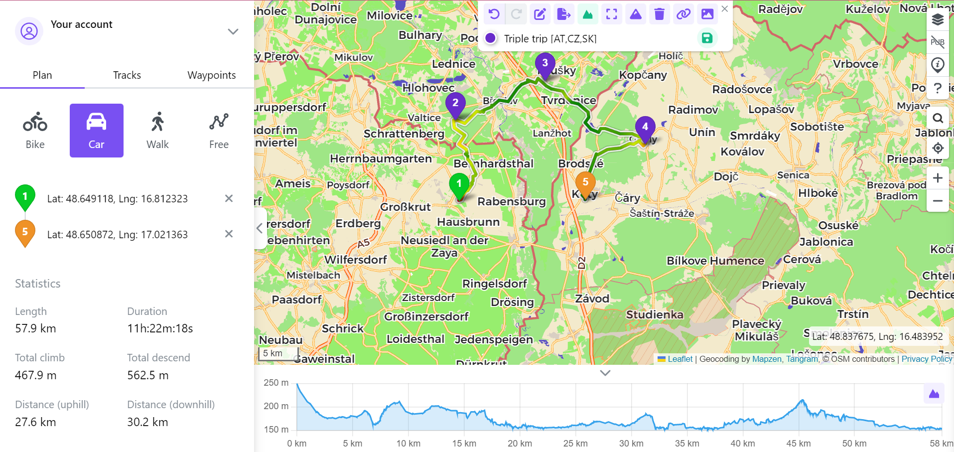
Waypoints
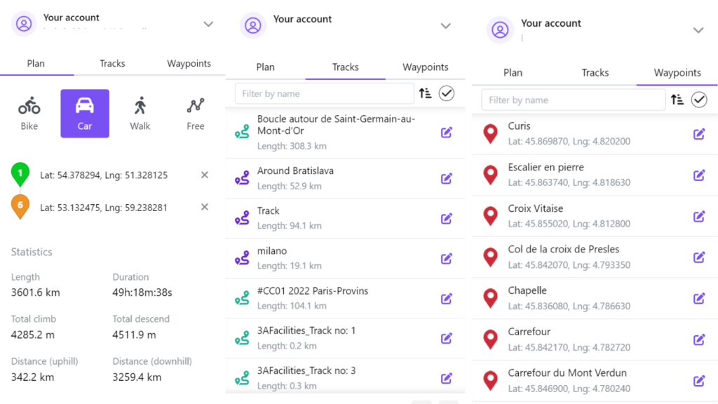
One of the core features of the trackbook is the ability to add waypoints either with a click on the map or by adding the coordinates. They are later customizable in the list of waypoints. Users can set up an icon, name, description, and type of waypoint. The waypoints are later listed on the left side of the screen.
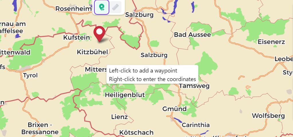
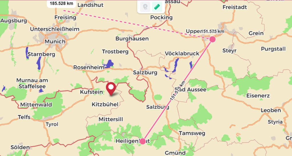
Distance Measurement
Wondering what is the aerial distance between points you aim to visit? Use the distance measurement feature to show what is the aerial distance between the points on the map as the overall distance of each point from the first point. To set up the unit system you feel more comfortable with go into the settings by your account.
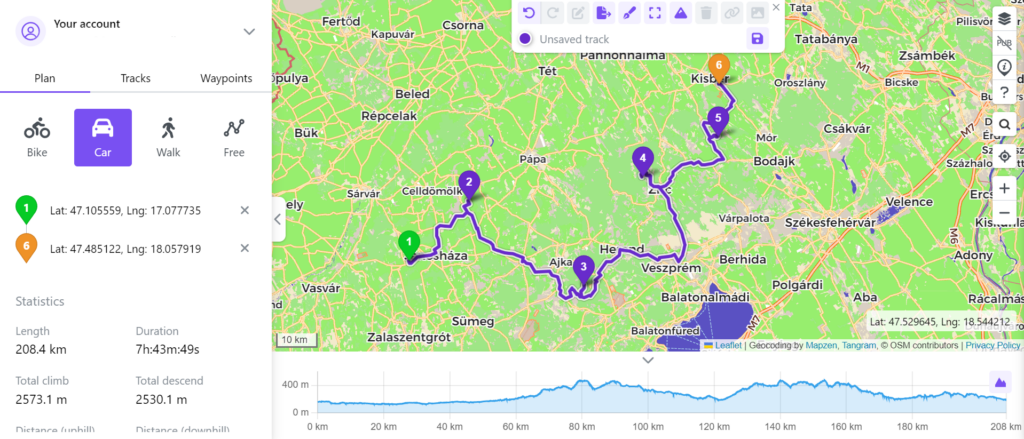
Tracks
Track planning is the main benefit of the large screen, providing sufficient space and context. In the panel on the left, you choose an activity or means of transport and then click on the map of the places where you want to take the route. The route is drawn along roads, paths, and bike paths according to the chosen activity. In the left panel, you can find basic statistics that can help you to determine the characteristics of the path, and under the map is located the elevation graph based on distance. You can view the routes individually on the map. Each route is provided with length, time, elevation gain, and other statistics, a map preview, and an elevation graph. Once the rozte done, you can export the route as a GPX file and import it into the GPX Viewer.
Library
Under the account users are able to find besides the track planner also tracks library and waypoints. In case you have the trackbook subscription, the library of tracks shows the tracks that were created in all of the devices you have synchronized with this account. Tracks and waypoints are sorted by creation date, however, there is an option of changing the sorting criteria or filtering the results.
Maps
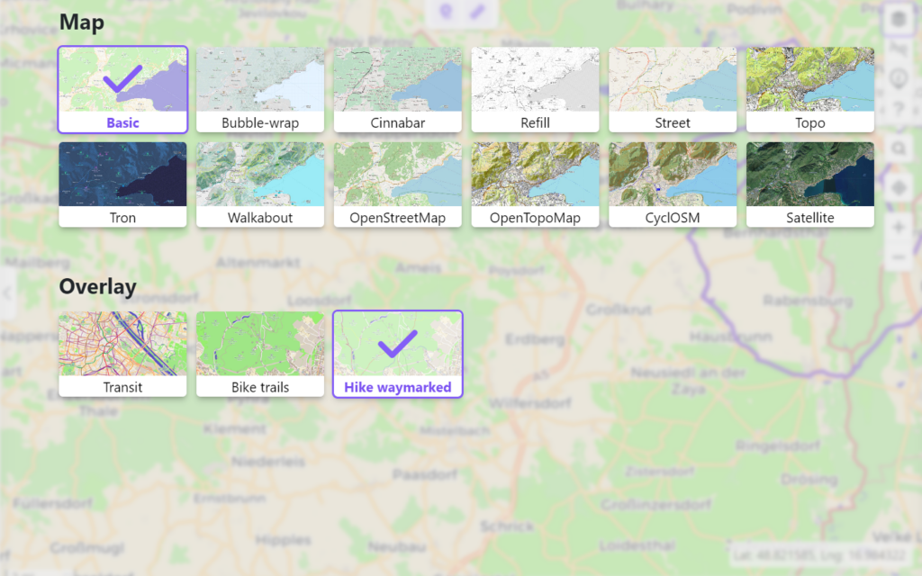
The maps offered in the trackbook copy the styles provided in the GPX viewer offline maps, to give users the most familiar experience. The styles are uniquely created by our team, with the option of customization through different overlays. Our most recent one is the Hike Waymarked, which was created to support passionate hikers with accessible and official routes for hikes.
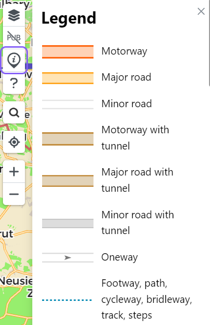
Each style is also accompanied by a legend that in case of any questions clarifies, what each element stands for.
Cesium
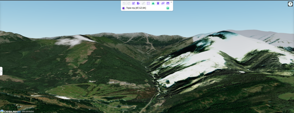
Another feature we added to improve the hike planning experience is the Cesium addon. This functionality can be enabled in the track planner and gives users 3D globe view. This feature is specifically useful when planning the tracks and wanting to see the profile of the route with all its elevations with the realistic eye.
Summary
Trackbook.online is your ultimate solution to plan your trips comfortably on your PC. Whether you decide to export and import the files, or directly upload them in your GPX Viewer through the cloud, you are not going to be disappointed. So tie your shoes and head out for your next adventure!
